From "The Galway's" Web Pages
Toronto. Canada
A Dream for the Ravine - Robert Galway
An Open Letter to Councillor Sarah Doucette

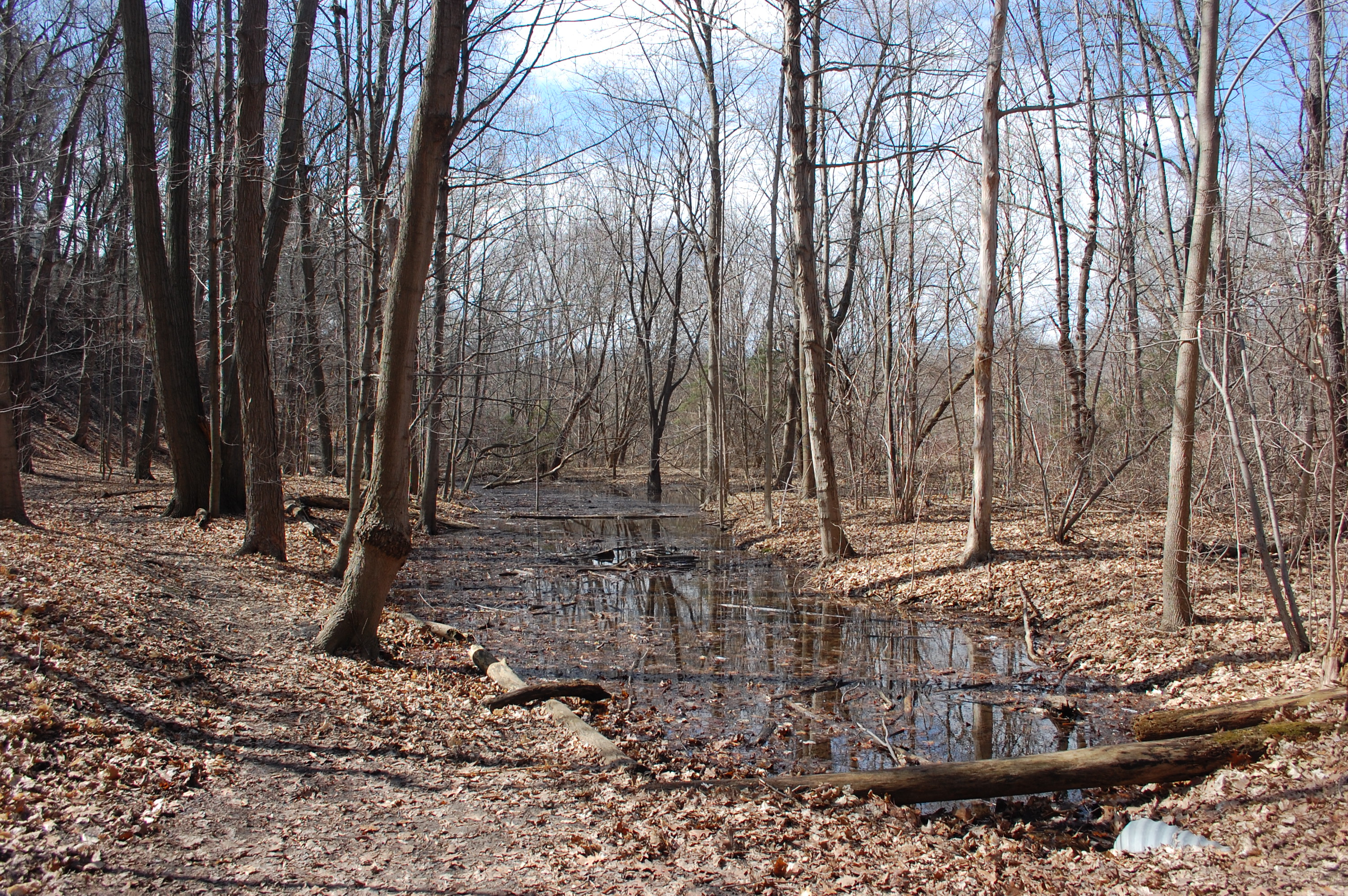
After a recent walk with the Councillor for Ward 13 through the Baby Point Humber Valley Ravine adjacent to Magwood Park, discussion turned
to the central issue as to how to best use the ravine lands while protectng them from overuse and vandalization.
This lead to the direct question that if the area was made more attractive and its many features more widely advertized,
"would we not be concerned that visitors would come and damage what we have and maybe start digging on
the historic Thunderbird Burial Mound " ?
The short answer to this query is no....
I would not be concerned about increased traffic that would prove detrimental and destructive.
The longer answer is related to the following images, in what can be described as ....
"A Dream for the Ravine"
I envisage a Humber Ravine development plan that would guide traffic and at the same time educate visitors by way of a series of
educational way stations with large Permanent Displays that present Graphics & Text that are based on the following topics.


1. Outline the recent History of the Baby Point area. (200+ years)
{click all photographs to enlarge }

2. Present the story of the Geology/Geography of the Humber River over time.... the development of the bottom lands (part of the Pleistocene Geological history of Toronto)


3. A review of the History of the Aboriginal communities - the Seneca Indian Teiaiagon Village, the Hopewell Network etc.
Figure - Seneca Indian Ceremonial Comb found at Baby Point Crescent in 2007


4. The Flora including Black Oak habitat & wildflowers

5. The Wildlife of the area.

6. Ravine Erosion and Ravine Stewardship
{click all photographs to enlarge }

7. The Archaeology of the Aboriginal Thunderbird Burial Mound with an access stairway/path up around & down with appropriate roping off the Crown of the Mound (see Miamisburg, Ohio example)
Summary:
This is a brief review of what I think could be done in the Ravine to the north of Baby Point Road and adjacent to Magwood Park.
I am certain that Mr. Geoff Cape, who recently published an article in the Globe & Mail about the use of ravine land in the GTA, may have a different vision with a broader scope.
I would be interested in his overview of the Baby Point Humber River ravine !
Note:
The views or opinions expressed above are those of the author (RDG). They do not represent in whole or in part, the policy of the
Baby Point Heritage Foundation"
Keep Friday, May 13th open to Celebrate the "Baby Point" Centenary : 1911 - 2011
The Baby Point Heritage Foundation is planning a Centennial Celebration of the Baby Point neighbourhood on Friday, May 13th., 7:30 - 9:30 at 67 Baby Point Crescent. Keep the evening open...... Invitations to follow!
Click arrow to learn about "Centenary Draw Prize"


